Connect people, maps and assets together
with the leading GPS tracking platform
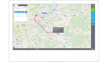
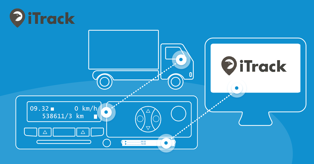
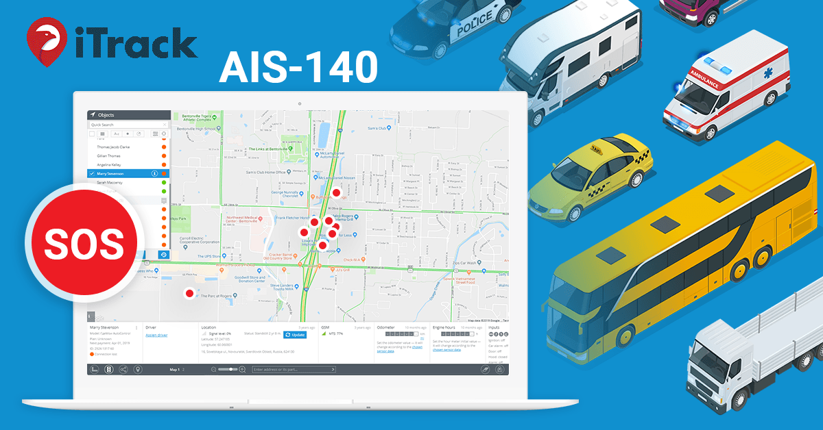
User Web Interface
Smart and simple – this is what your users will say about your service. Intuitive web-interface embeds the latest technologies, looks great and works fast. And it meets the whole range of applications – from pet tracking to sophisticated enterprise solutions. Learn more
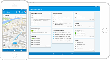
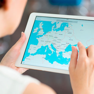
Mobile APPS
Wherever your users are, they get the agility and insight on any mobile device. iTrack gives free ‘X-GPS’ apps for all major mobile platforms so users can control their assets from anywhere and locate other people with GPS in their smartphones or tablets. Learn more